SEES Seminar: "Art and Argument: Indigitization of a Kiowa Historical Map for Teaching and Research"
- Date and time
- 2:30 PM - 3:30 PM, March 01, 2024
- Description
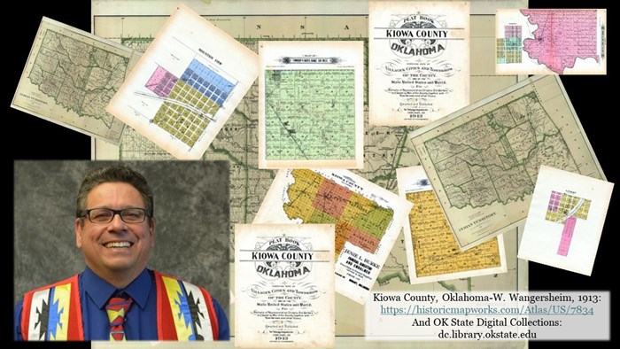
How might we teach undergraduate students about Indigenous geographies using historical maps? This presentation describes processes associated with the bridging of a historical Kiowa map with computerized geographic information systems (GIS) and undergraduate geography curriculum. The authors applied an indigital framework as an approach for melding Indigenous students about historical/contemporary spatial issues. Indigital is the blending of Indigenous knowledge systems, such as storytelling, language, calendar keeping, dance, and songs, with computerized systems. Undergraduate student engagement with maps results in new questions about Indigenous geographies, particularly map projections, place names, and the meaning of Kiowa symbols.
Mark Palmer's work focuses on the social aspects of geographic information systems including the uneven development of geographic information networks within institutions and their connections and disconnections within indigenous communities around the world. Palmer studied UNESCO World Heritage nomination maps/GIS in Paris, France to describe what translations and network alignments work or do not work, and how to flatten out the process to allow for greater Indigenous participation. The UNESCO work has led Palmer to research place-based story mapping in New Zealand, specifically at Tongariro National Park and other North Island locations. Palmer's current research describes the processes of translating Indigenous knowledge into standardized 3-D image and visualization technologies.
- Event sponsor
- Earth, Environment and Sustainability, School of
- Admission
Free
- Open to public, alumni, current students, faculty, future students
- Location
Additional information
- Event contact
- Carroll, Tracy
- Academic Administrative Assistant II
- TracyCarroll@MissouriState.edu
- 417-836-5800
- Visit website