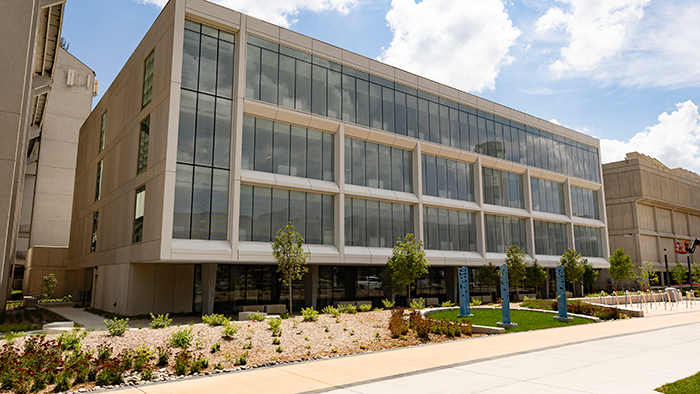
GGP Seminar: Dr. Xuelian Meng, "Fine-scale LiDAR and UAV based mapping for landscape stratification and 3D structure analysis"

- Date and time
- 2:30 PM - 3:30 PM, November 13, 2020
- Description
Please join GGP in TEM 002 for a live Zoom presentation by Dr. Xuelian Meng, associate professor, LSU, Department of Geography & Anthropology. Dr. Meng will talk about regulatory relaxation for remote sensing civil applications in the 1990s. As such, it has significantly promoted commercial satellite and sensor developments and advanced the world into a new era of fine-scale mapping. Especially, Light Detection and Ranging (LiDAR) and Unmanned Aerial Vehicle (UAV). Both have gained wide attention in recent years.
Dr. Meng will share how to take advantage of their fine resolution and 3D information under limited spectral band conditions as one of the main themes for various applications. Through several case studies, this presentation demonstrates their applications for ground filtering, urban feature detection, topographic mapping correction in dense coastal wetlands, sediment change monitoring, wetland inundation analysis, forest 3D structure analysis, and plant health studies.
You are welcome to attend this free presentation. Please wear a mask and practice safe social distancing.
You may contact the GGP department with any additional questions.
- Event sponsor
- Earth, Environment and Sustainability, School of
- Admission
Free
- Open to public, alumni, current students, faculty, future students
- Location
Additional information
- Event contact
- Carroll, Tracy
- Academic Administrative Assistant II
- TracyCarroll@MissouriState.edu
- 417-836-5800
- Visit website
